Want to find a powerful way to connect AutoCAD with Google Earth and Google Maps? Your search is over!
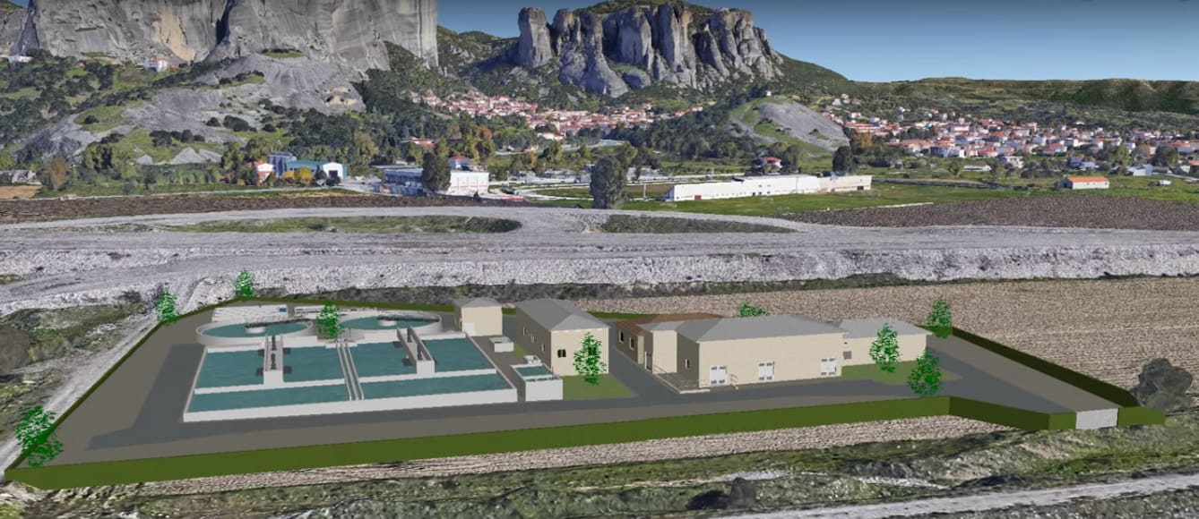
Plex.Earth 4 provides access to Google Earth, Google Maps, Bing Maps, OpenStreet Map, or any WMS provider (e.g., USGS). According to the developer, the program enables you to “import images and create seamless mosaics with aerial imagery” and includes 3,000+ supported coordinate systems worldwide.
Plex.Earth 4 gives you the ability to:
• Quickly and easily export 2D drawings or 3D models directly to Google Earth in both KML and compressed KMZ format for greater versatility
• Import KML files
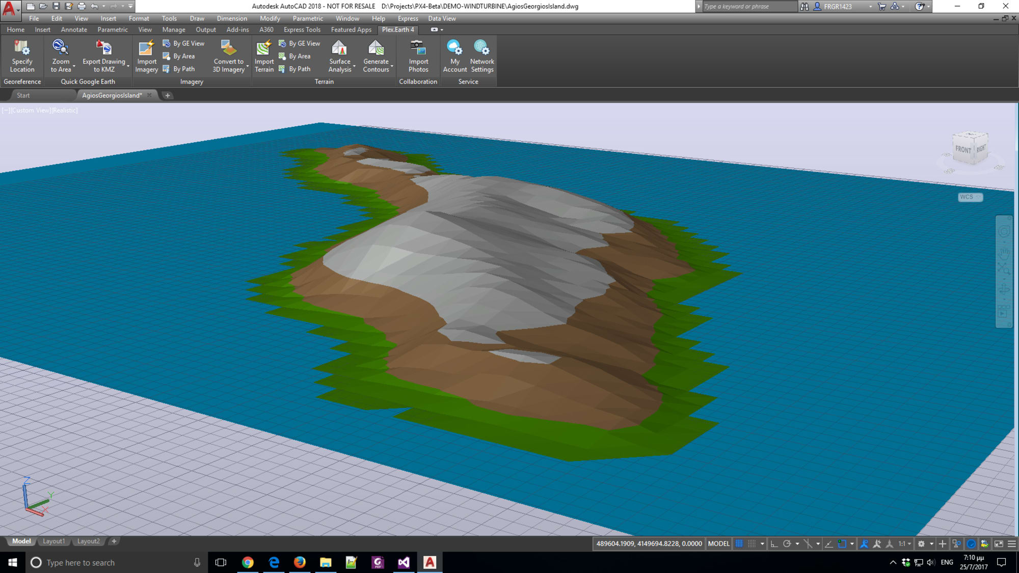
• Create terrain models with elevation data directly from Google Earth
Check out the trial on the Autodesk App Store or visit their website for more information. Bring the power of Google Earth and Google Maps to your next project!
Take a look at the entire series for more AutoCAD apps available on the Autodesk App Store.
Source: Autodesk