When working on any infrastructure project, survey data is crucial, and getting that data working for you is exactly the focus of the AU 2016 session “AdvancedSurveyFunctionalityinAutoCADCivil 3D 2017and InfraWorks 360” presented by Lucy Kuhns.
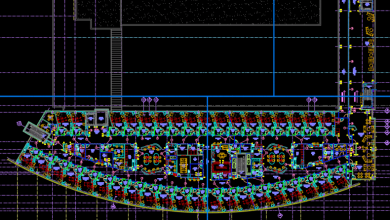
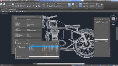
“In this class, we will take a deep dive into the new and existing survey features and functionality in AutoCAD Civil 3D 2017 software,” Kuhns says. “We will cover traditional, global navigation satellite system (GNSS), scanned, photographed, and remote-sensing data types, and we’ll see how they’re added and used in both AutoCAD Civil 3D software and InfraWorks 360 software.
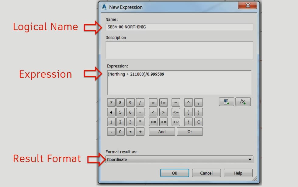
“Then we will dive deeper into open and closed loop adjustments, ‘on the fly’ local to assumed coordinate-system transformations, grid-to-ground considerations, extreme description key coding, extended data on points and figures, and Land XML-based survey systems,” she continues. “And finally, to keep up with the latest trends, we will explore the power of photo-to-point-cloud tools, and see how settings out information works in the BIM 360 mobile applications.”
Be sure to check out the presentation and full transcript here for a host of advanced tips for survey data in AutoCAD Civil 3D.
Looking for more Autodesk University videos? Check out the entire series here.
Source: Autodesk